

Burr Oak State Park
Backpacking guide

Burr Oak State Park
Backpacking // 21 mi // 1 night // Last updated: June 2023
One of my personal goals with Mumble Outdoors is to seek delight in the land and recreation around me. Jeremy’s family knows seemingly all the good local spots to spend a weekend, and we’re finding new ways to make it down every trail we can. I want to share that joy! For our travels to less-popular or newly established routes, I’ll share guides here. These won’t replace trail journals (see here and here), but supplement them. More midwestern adventures for all!
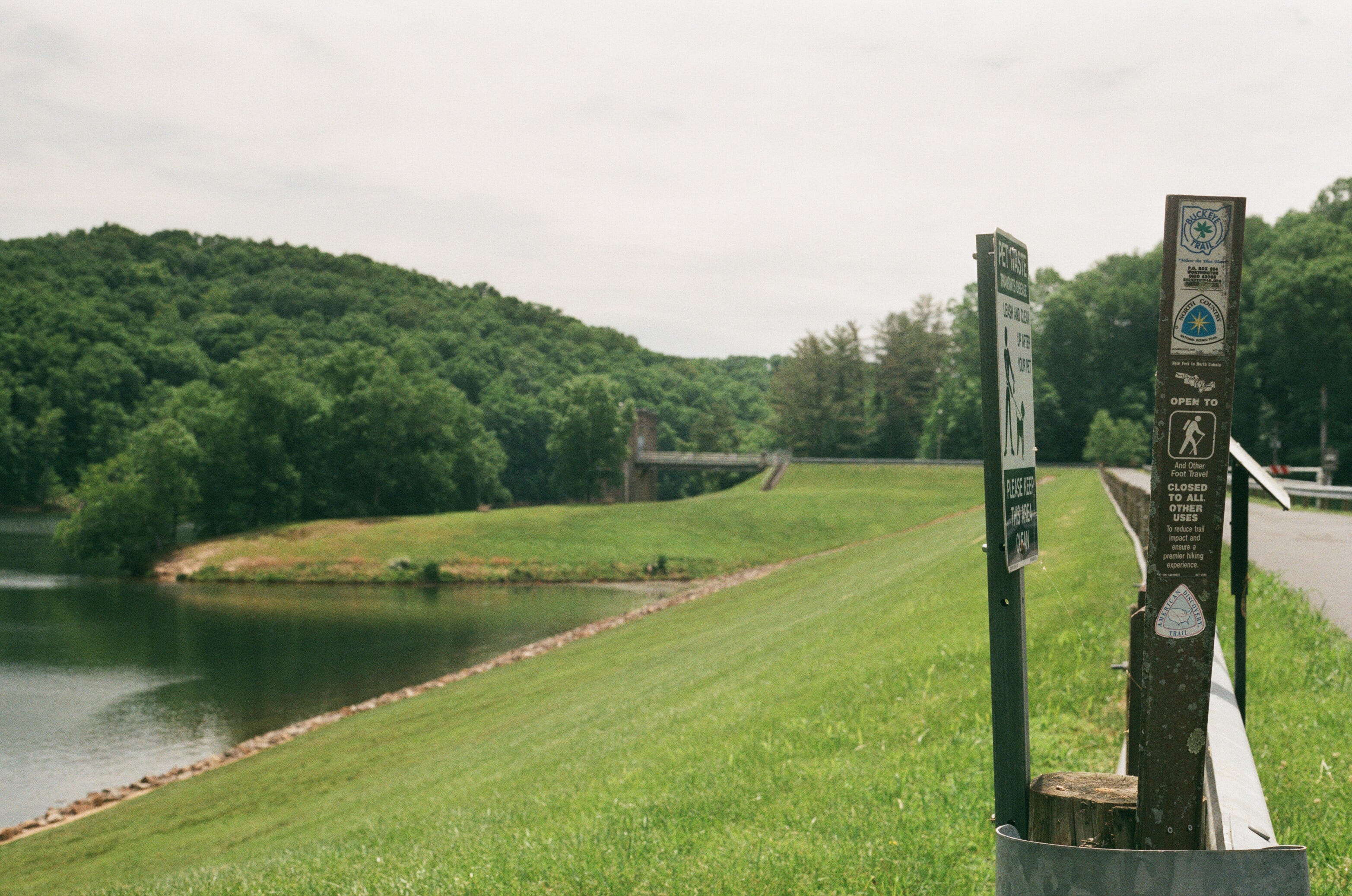
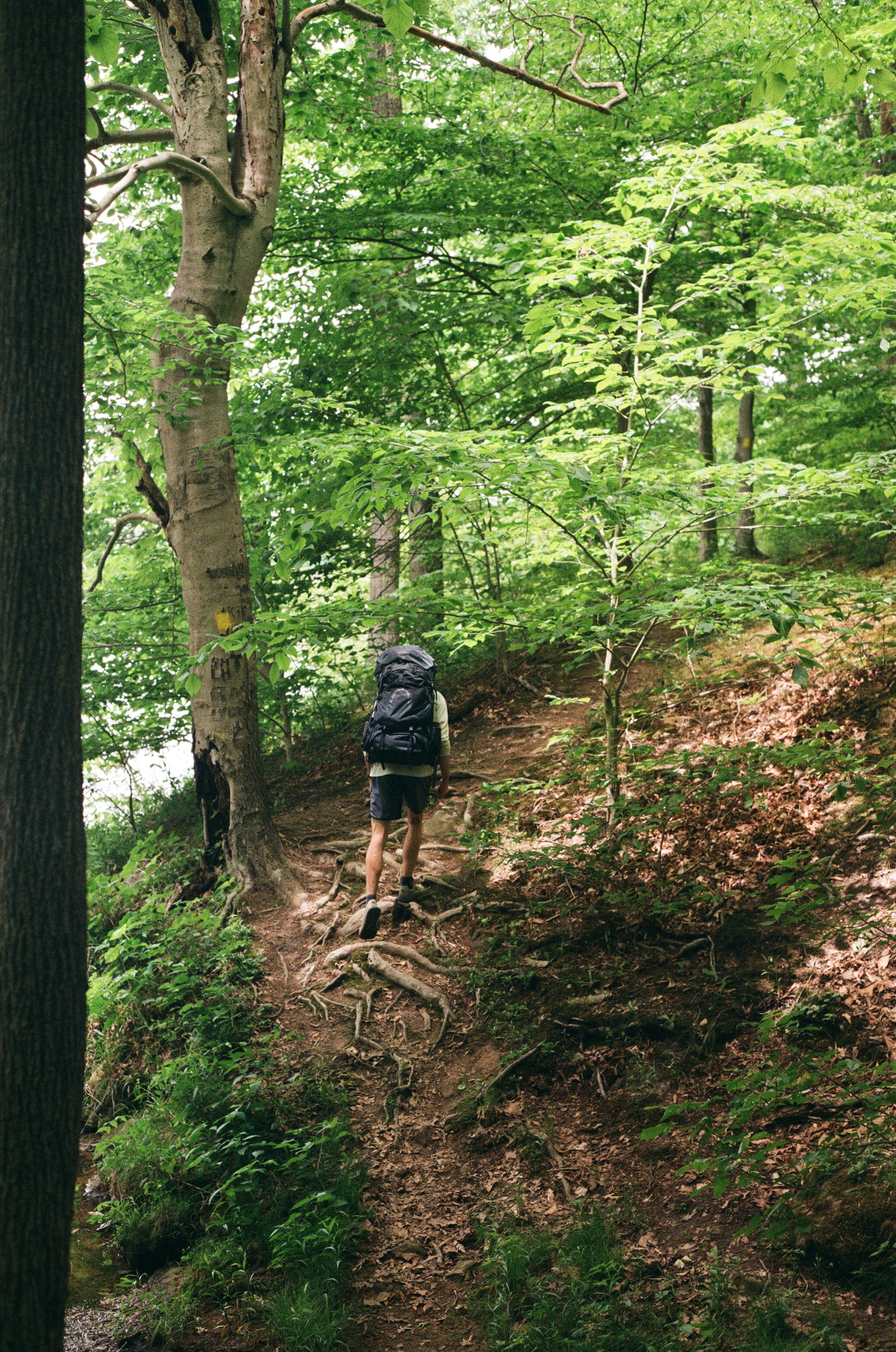
Burr Oak State Park encompasses Burr Oak lake, a reservoir near Glouster, Ohio. The backpacking trail winds around the dammed river, connecting with the North Country Trail (which here is also the Buckeye trail) and linking together the dam, boat launches, and docks along the way. While you’re never too far from the road, the hilly terrain, lake views, and forest make for an immersive hike.
Difficulty
Grade: This trail is in the foothills of Appalachia, which guarantees plenty of hills. Some inclines top out at 20% grade, but are no more than 300 ft tall in total. There were a few climbs that winded us, particularly on the northwestern portion, where we joked that no one told Ohio about switchbacks. You can see the elevation graphs in the routes linked below–the 45% grade at the end was where we went a bit off trail to get back to the road.
Trail condition: The trail was well-maintained and clear, except for a few downed trees and mud. We also encountered lots of thorns on day two, and I regretted wearing shorts.
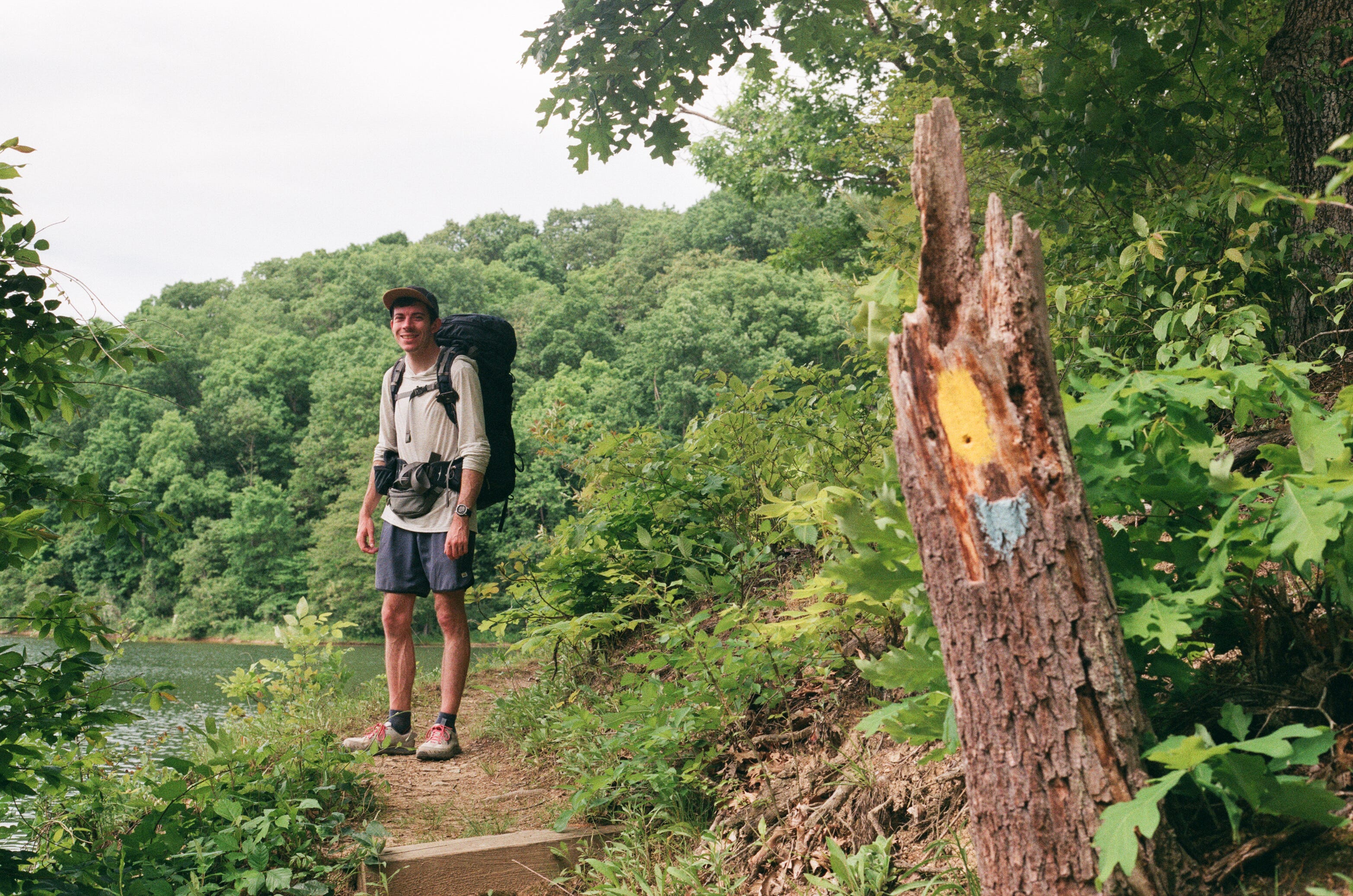
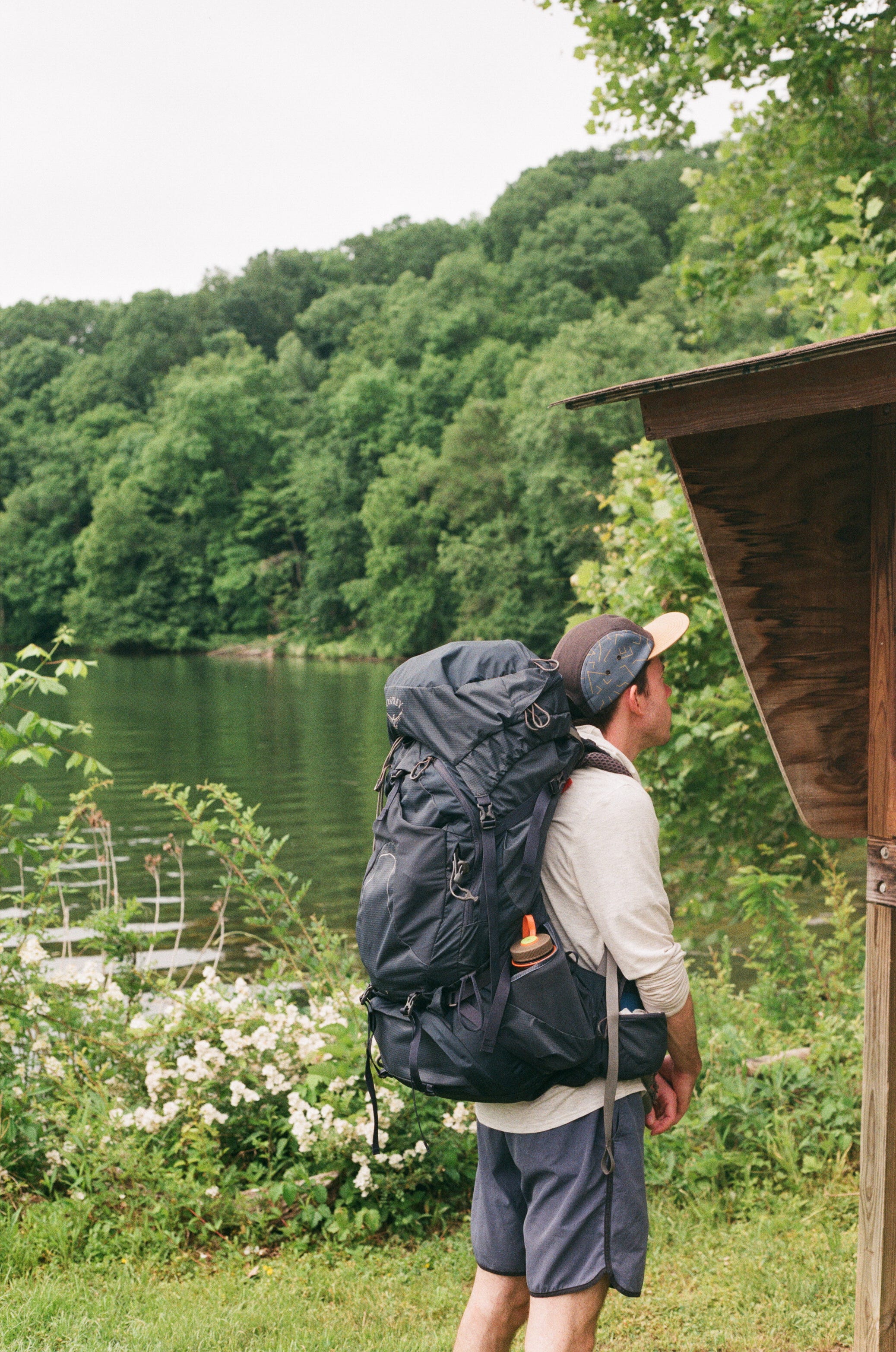
Navigation: The trail is well marked and has detailed maps at all the road crossings, including distance to the next marker. The only place we got confused was in the northwest section, after the North Country trail splits off (go left after the bridge, connector trail visible here). We followed an offline route downloaded from Strava, linked below (a similar one is available on AllTrails.)
Weather: We went Memorial Day weekend, and were treated to mild temps. Even in the summer, I’d recommend a warm mid-layer and a rain jacket.
Logistics
DNR Map (posted maps have more detail)
Day One Map//Day Two Map (Our route)
Cell Service: On AT&T and Verizon, we had weak and unreliable cell service most of the route.
Water: The park is next to Wayne National Forest, where the water is known to be unsafe to drink–even filtered–due to a history of mining and drilling in the area, so we didn’t collect water. There are water spigots at the state park campground, the docks, and the group campground. On day two we carried all our water from camp to the finish.
Campsite Options: We started our trip from Burr Oak State Park Campground and hiked to the Group Camp by Vicksville (see DNR map) the latter of which doesn’t require a permit for hikers. Dock #2 and Dock #3 have primitive campsites that can be reserved to make this trip two nights, and there’s a lodge if you’re looking for a real bed and shower.
Permits: None needed for backpacking or the group camp, but we booked the first State Park Campground for the weekend.
Gear Notes: I recommend pants for day two due to the thorns. Pack the ten essentials, and use what you have!
Also in the area: You could add on more miles to the trip by including the Wildcat Hollow trail. The college town of Athens, Ohio offers cute coffee shops, a brewery, and a rail trail for walking and cycling. Under an hour’s drive away is Hocking Hills, a regional favorite with excellent day hiking.
Before you go, review the 7 Leave No Trace Principles
Day One
We departed late in the morning from our campsite at the State Park campground, a long line of campsites tucked into a hill. The road out was the steepest climb of the hike, children whizzing by on whatever bike or scooter they had, eyes wide with delight and terror and mouths hanging open, over and over again. The campground was lively, but once we turned into the woods, it was quiet. The trail cut over to the empty beach and followed the road alongside the winding shoreline. We spotted a few too many water snakes for comfort (not venomous) before reentering the woods, just past dock #4. Near the roads, the trail is lined with roses and wisteria. Deeper in, we found pawpaws, tulip trees, and innumerable mushrooms I haven’t learned how to identify–a more experienced forager would have found plenty to take home.
The trail wound in and out of view of the lake, and was quiet–we saw only one pair of birders–but the docks were bustling on memorial day weekend. We stopped to cook lunch at the spillway, which had picnic tables, shelter, and water.
In the afternoon the trail hugged the shoreline, giving deceptive views of progress as we wound around the fingers of the manmade lake. On the eastern side of the reservoir the hills grew taller and rockier, sandstone jutting out of the hillsides and caves tucked into hollows. Here, we found a few more day hikers staying at the Burr Oak lodge or the primitive campsites.
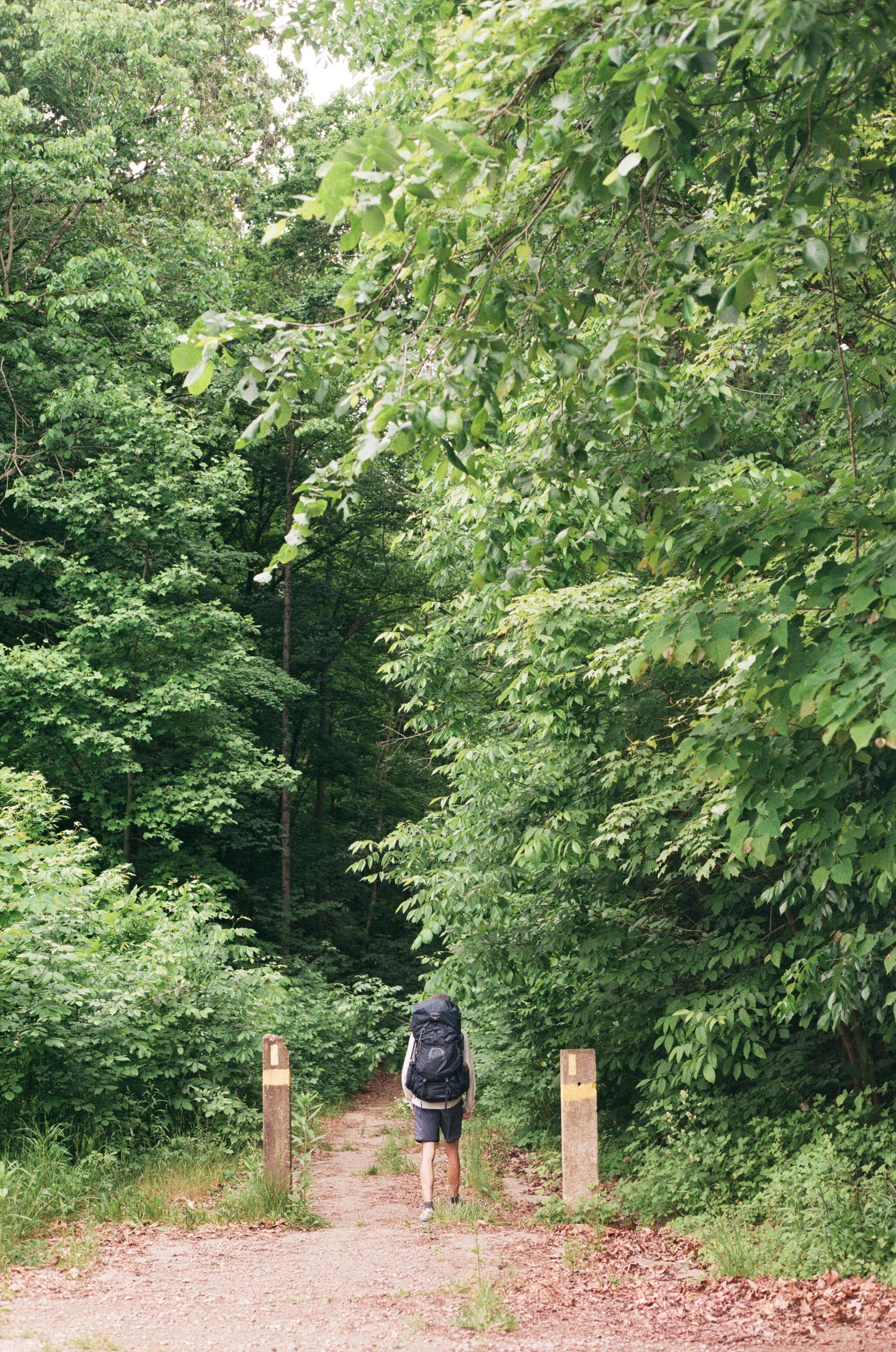
Tired after a long day, we chose to hang right at the last trail junction, and follow the hiking trail to camp. After a steep downhill and climb back up, the trail spit out into a large field, providing a bright and welcoming site. There were several water spigots, a shelter, pit toilets, and outlets arranged in a grid. We pitched our tent, plugged in our phones and cooked dinner on a picnic table. We were joined by one group in the far corner, and another pair of backpackers as we settled in for a quiet night on a bed of soft grass.
Day Two
We woke early, because I had an evening flight to catch in Detroit, and were treated to the sight of a fox hunting in the field while we sipped instant coffee. Then we headed down the trail, which, far from the dam, traced the floodplain of the river on grassy bluffs. Thorny roses and brambles lined the side of the trail, grabbing at our knees and hands. I daydreamed about buying hiking pants for several miles. Despite the annoyance, as the sun rose we could hear fish leaping out of the water, a constant drumbeat of splashes that pulled us towards the shore for a look. Here, the river looked more like it might in its natural state, full of birds and plants. We passed one more dock, lined with tents, and then we were alone again.
After a quick jog out onto a dirt road, the trail returned to the forest, and the mud. This meant the return of mushrooms, including my new favorite: dog vomit slime mold. Much of this section was put-your-head-down-and-hike as we made steady progress towards the car, but the engine roar of surprised wild turkeys taking flight brought us back to the present moment–as did sparkling silkworms, morning birdsong, and downed trees requiring strategic maneuvers. A few steep and soggy climbs later, the sounds of children grew to a gentle roar, we were back on the road, jogging towards the car, and showers.


Happy trails!
Mumble