

Pictured Rocks National Lakeshore
A backpacking guide

Pictured Rocks National Lakeshore
Backpacking // 42* Miles // 2+ nights // Last updated: October 2023
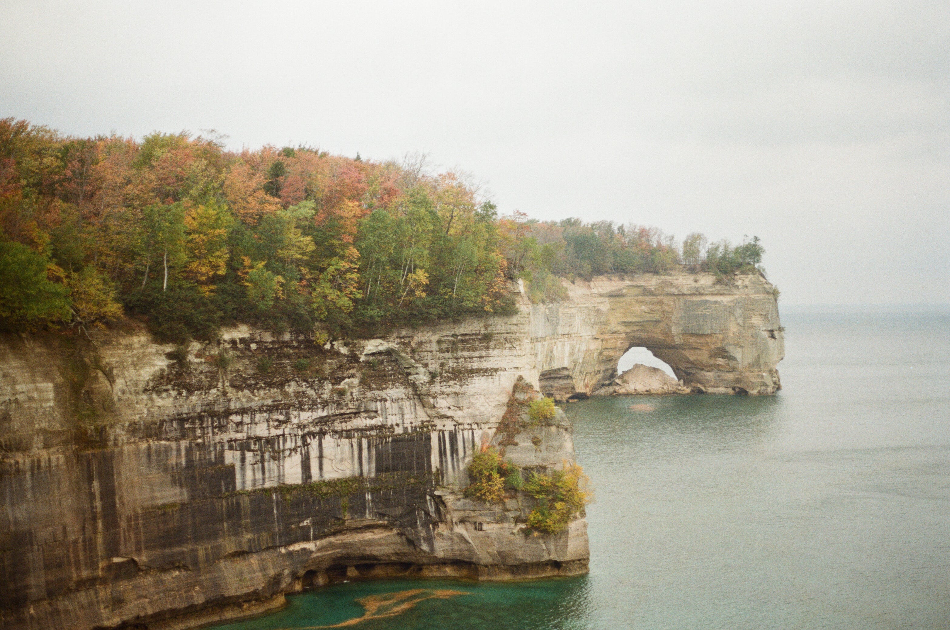
Pictured Rocks was the first trail I backpacked, and one I’ve returned to twice now. Along sandstone cliffs over Lake Superior, this trail offers stunning views, rolling terrain, and the chance to swim every day. It’s a popular section of the North Country National Scenic Trail accessible by numerous trailheads—you can make this as long or short a trip as you like, or head out for a day visit.
This is some of Michigan’s finest backpacking and some of its most accessible. Just outside of Munising in the Upper Peninsula, Pictured Rocks National Lakeshore covers 42 miles of the North Country Trail hugging the coastline for spectacular views of the park’s sandstone cliffs. The trail is easy to follow and dotted with beautiful backcountry campsites, and just popular enough that it’s possible to get permits, but you can count on the company of fellow backpackers in peak season. I’ve visited in both summer and fall, and I’d recommend the latter for spectacular foliage and no bugs.
Difficulty
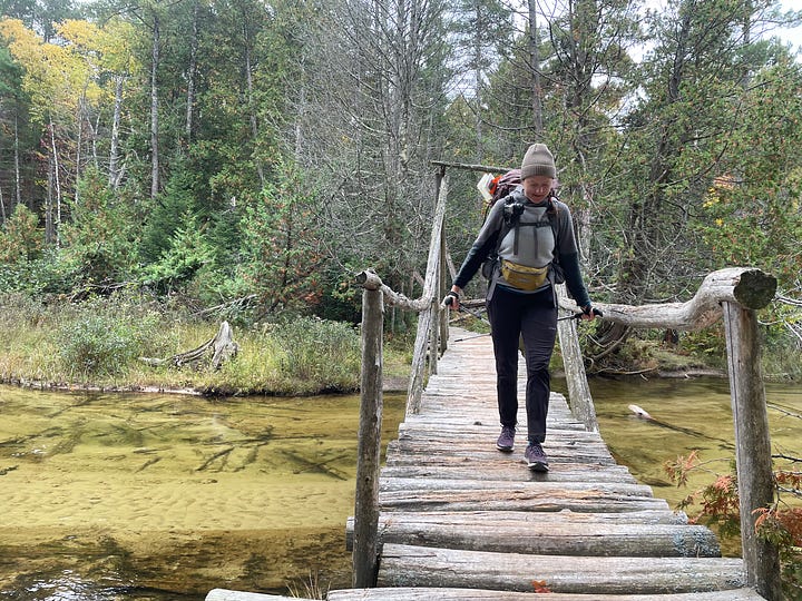
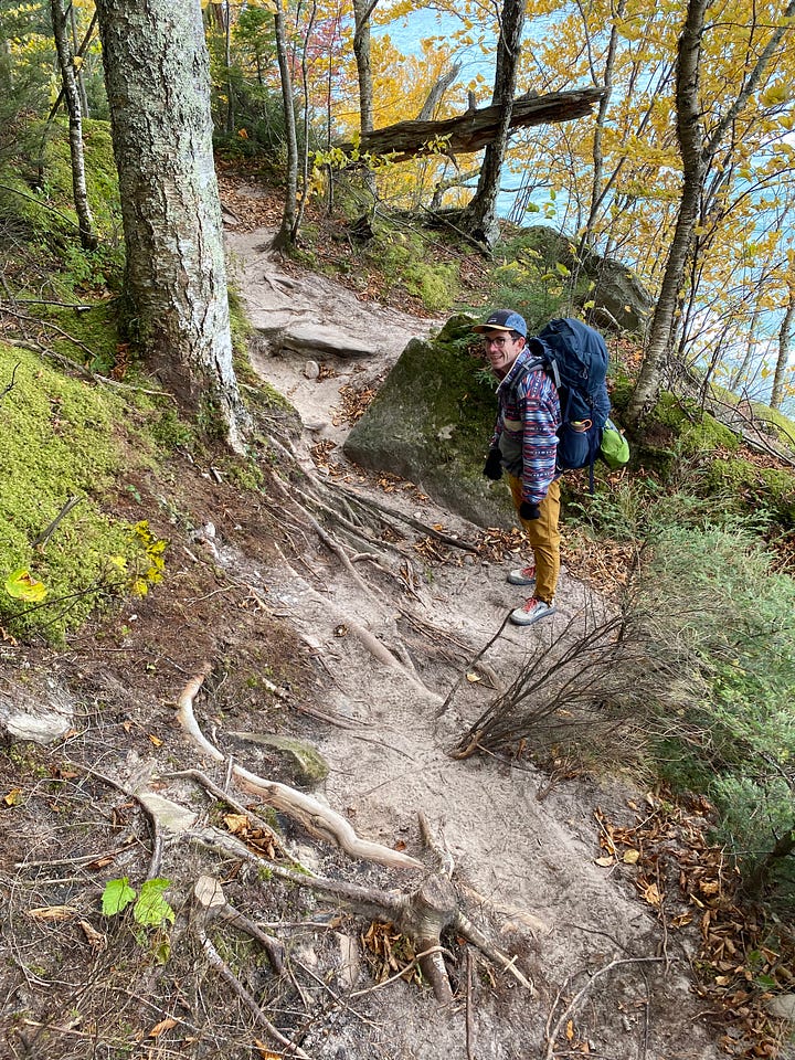
Grade: Most of the hike is a gentle grade, with a few punchy climbs—including built-in stairs and trail eroded down to ladders of roots holding the dune together.
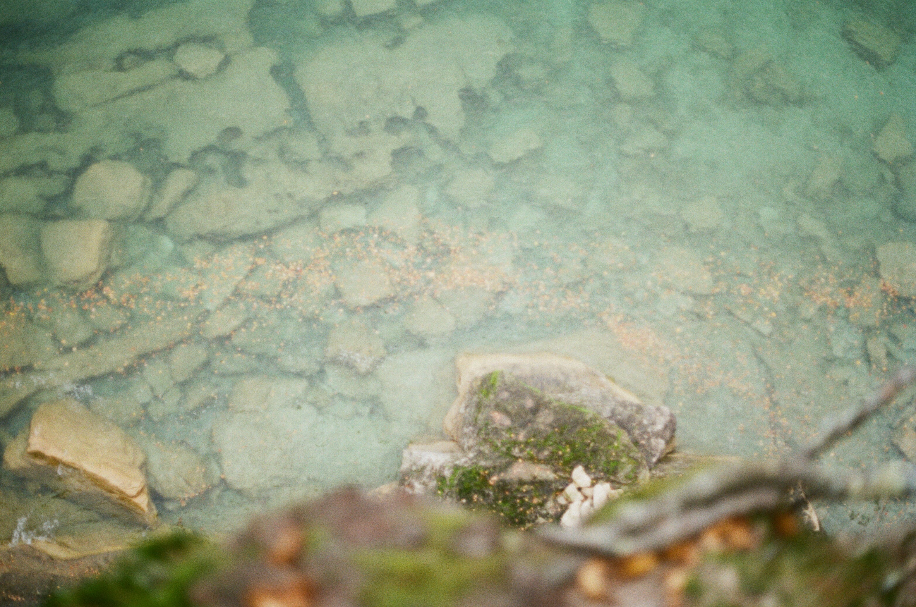
Terrain: Moving between forest, dune, and sandstone cliff, this trail is often smooth and well-worn. However, with the fragile geology of sandy soil and rock, there are many sections with thick roots or soft ground. Between Miner’s Castle and Munising Falls, there are long sections of boardwalk and puncheon.
Trail condition: There was a notable difference between my 2021 and 2023 hikes in trail maintenance—several sections were rerouted away from eroding cliffs, and there was new signage and large sections of additional boardwalk near Miner’s Castle.
Weather: Summer temperatures are typically mild by Lake Superior. Conditions can change quickly—be prepared for storms no matter the forecast. When planning a summer trip, pick your poison with bugs: mosquito or fly season. In my October trips, I was able to stay warm with proper layering and well-insulated gear, and was bug-free.


Trail conditions October 2023


Why Pictured Rocks?
Sandstone cliffs (need I say more?)
Deep blue water & multiple beaches
Snacks! This trail has blueberry and bramble bushes, apple trees (we hear the one by the lighthouse is good), and abundant mushrooms for the experienced forager. and on your way out, don’t forget a pastie (handpie)—a “UP” classic
Fall foliage. I wouldn’t worry too much about “peak” color—anytime in early-mid October should be gorgeous.


Logistics
Maps: We downloaded an AllTrails map to check our location periodically, and a screenshot of the backcountry planner.
Shuttle: Altran runs a shuttle the length of the park, with a few stops in between if you want a shorter trip. For the best concentration of views, Logslide to Miner’s Castle (~30 miles) will get you all the iconic stops. For an even shorter trip, I recommend Little Beaver to Miner’s Castle (~15 miles)
Permits: To camp overnight, you’ll need backcountry permits from recreation.gov. I’ve booked a couple of weeks in advance for October permits, but the earlier, the better. Permits for the year become available January 21st.
For each night, you’ll need to select your campsite. The National Park Service has a backcountry camping planner that lists the distance between campsites. Both my GPS watch and feet find it to underestimate distances slightly, but it’s helpful for planning itineraries.
Before booking campsites, familiarize yourself with shuttle options & pickup points. You can always self-shuttle with two cars, or book a shuttle from your car to your starting point.
Pictured Rocks National Lakeshore has a per-vehicle entrance fee—you can either pay online ahead of time or at the Mosquito Falls Visitor Center.
Voluntary Land Tax: Pictured Rocks is on the lands of the Anishinabek and Sioux peoples. My imperfect honorary tax went to Title Track, a Michigan-based nonprofit that manages an Indigenous Mutual Aid fund.
Cell Service: Cell service is poor in the area. I recommend downloading driving and hiking directions before heading out, but you may get some service along the trail.
Water: There are abundant water sources on this route. The backcountry planner has details on water sources at each campsite (not all of them have one!)
Gear Notes: Pack the ten essentials, and use what you have! And don’t forget the bug net and bug spray :)
Before you go, review the 7 Leave No Trace Principles
Happy trails!
Mumble


Looking for more?
Mini trail journals from 2021:
